A Quick Hike Before the Park!
Before I get to Lake Superior Provincial Park, I wanted to mention a hike just outside the entrance!
After arriving late Thursday night in Sault Ste. Marie, my friends and I were eager to start hiking bright and
early Friday morning! After all, we had been trapped in our tiny Toronto condos all summer so what could be more exciting
and different from our regular day-to-day! After about a 50-minute drive from our hotel we arrived at Pancake Bay Provincial
Park. The Lookout Trail trailhead
is located a couple kilometres west of the campground/visitor centre, with access right off the Trans-Canada Highway.
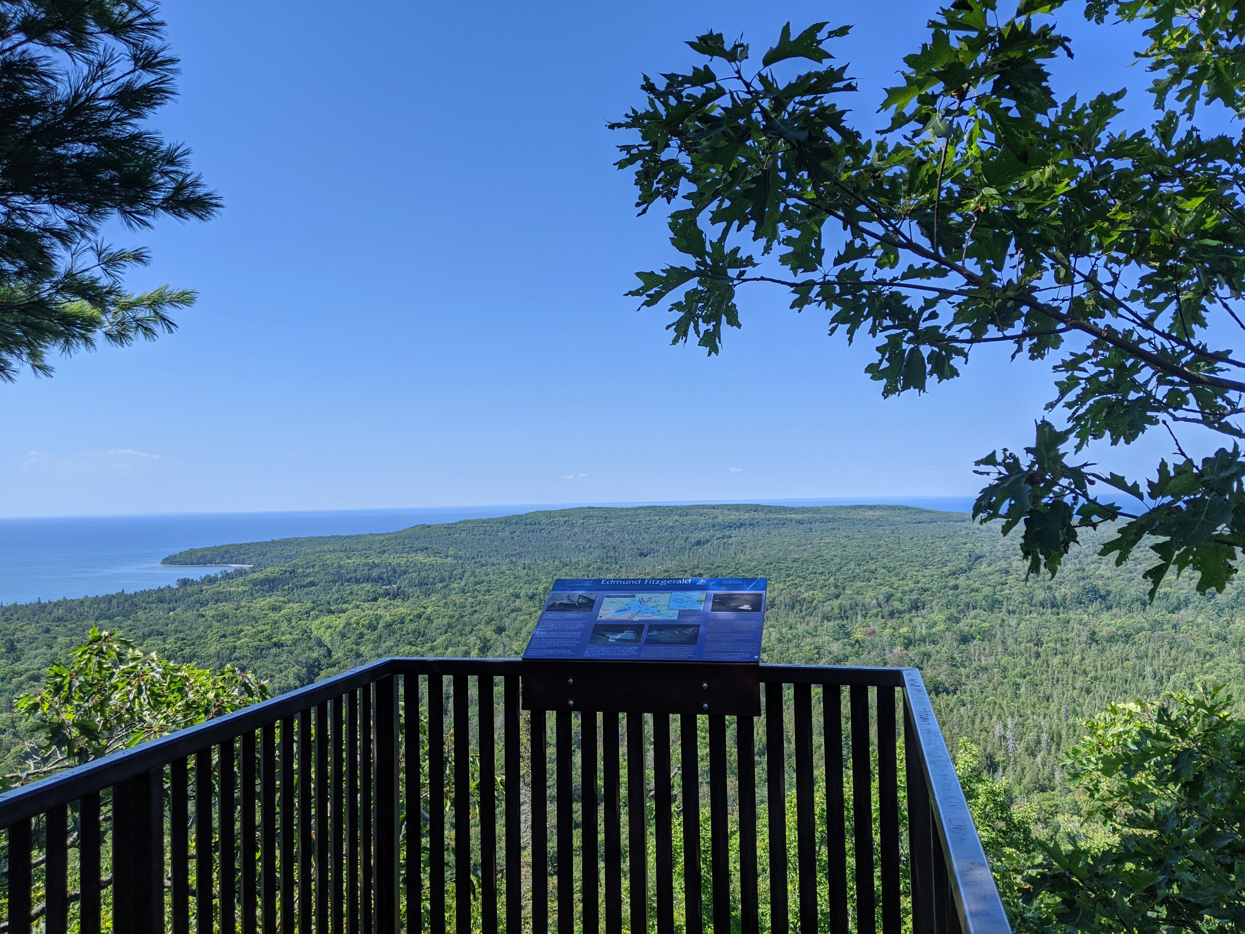
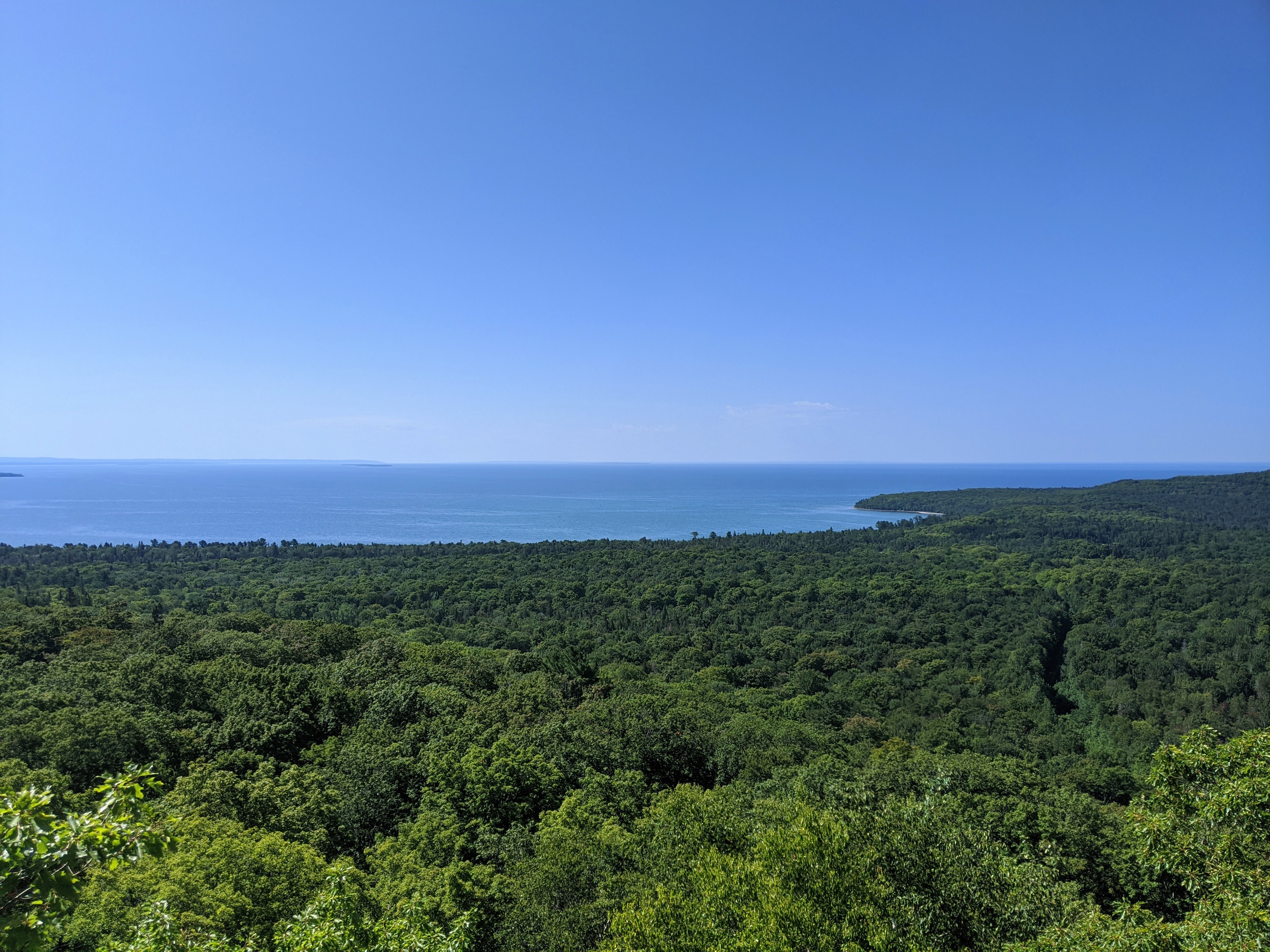
This trail is known for its panoramic views of Lake Superior and Pancake Bay and I can confirm that we were not disappointed.
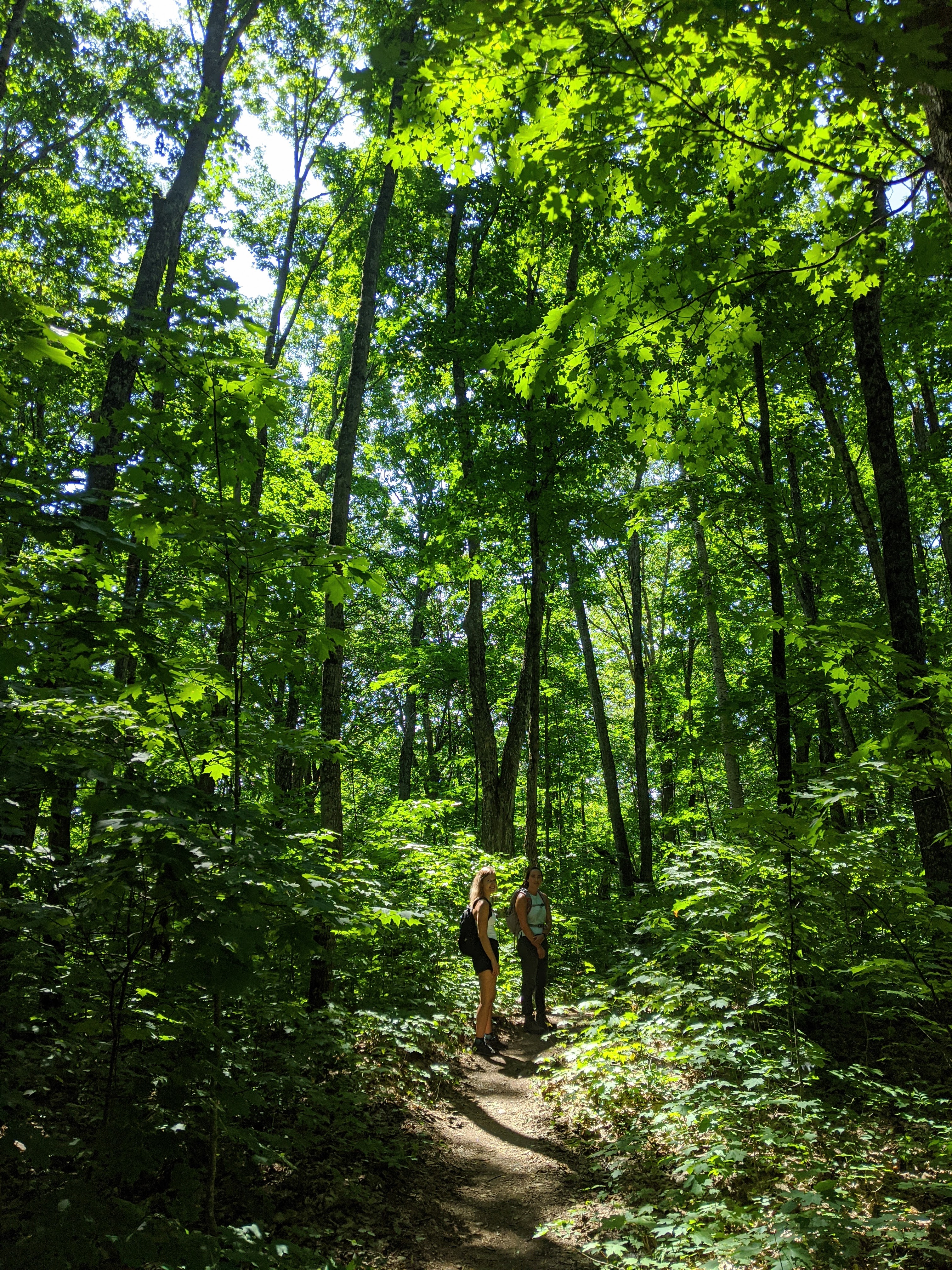
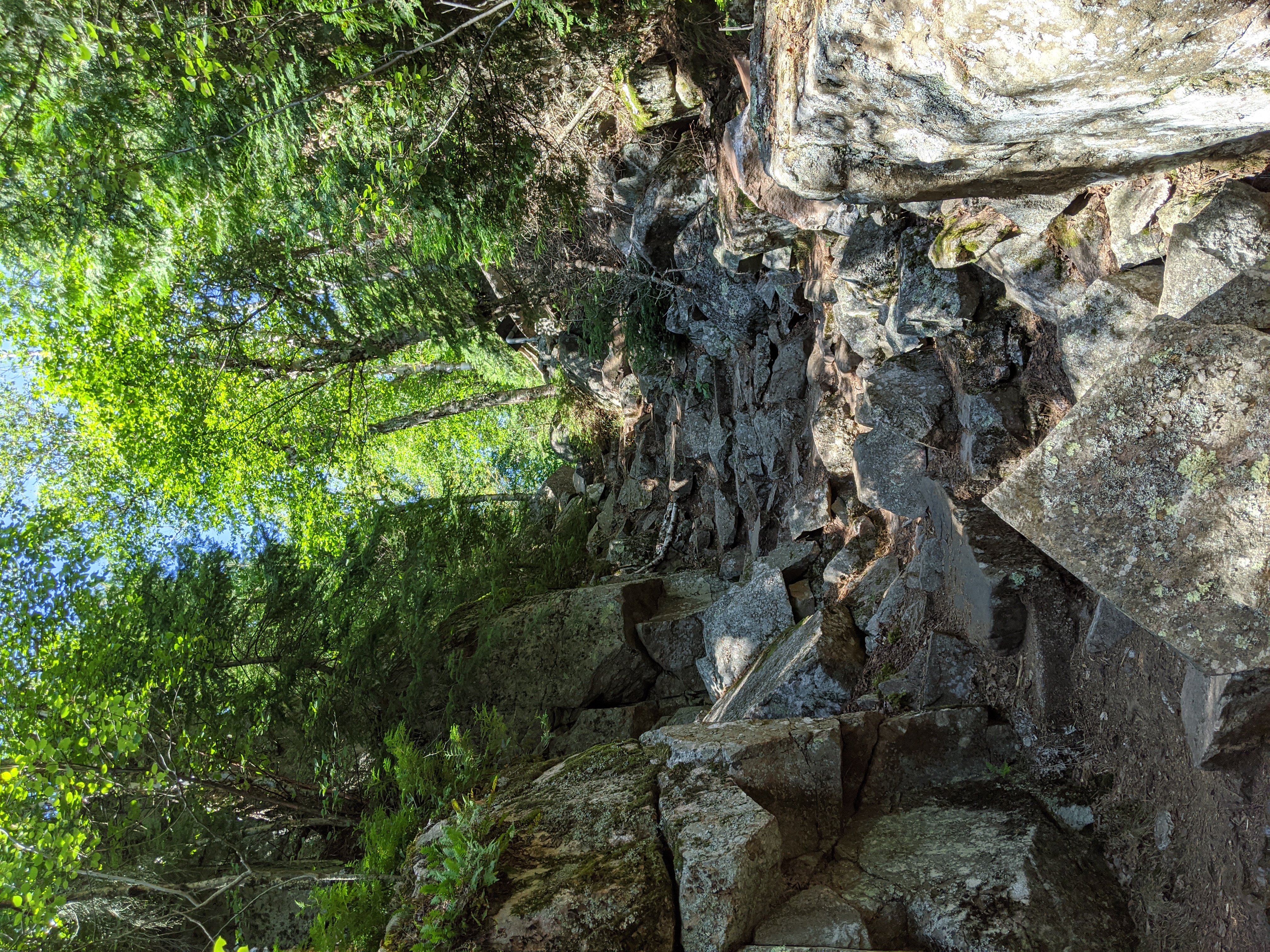
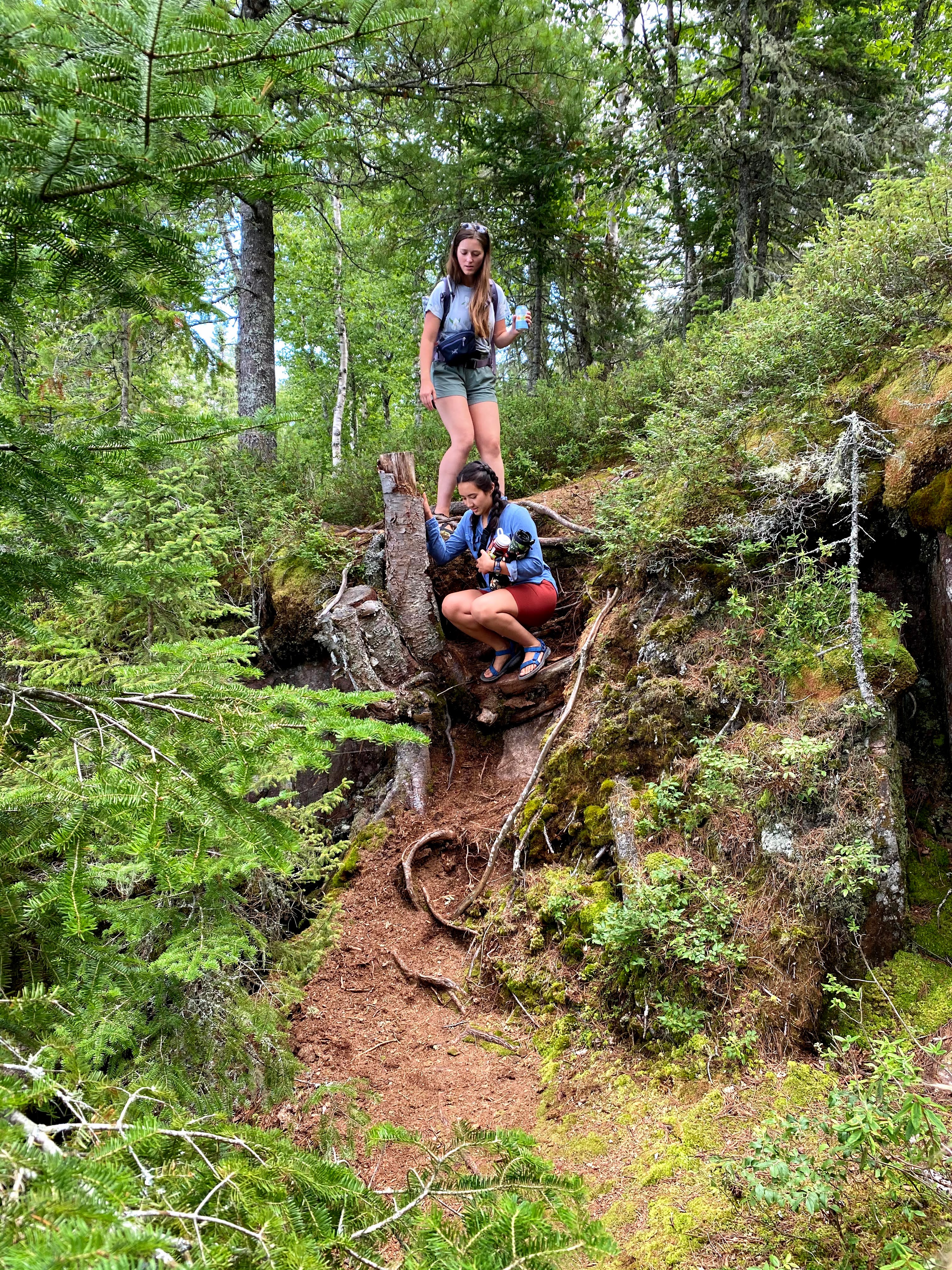
The hike itself was pretty easy, but I suggest wearing closed toe shoes because there are a lot of exposed rocks and roots.
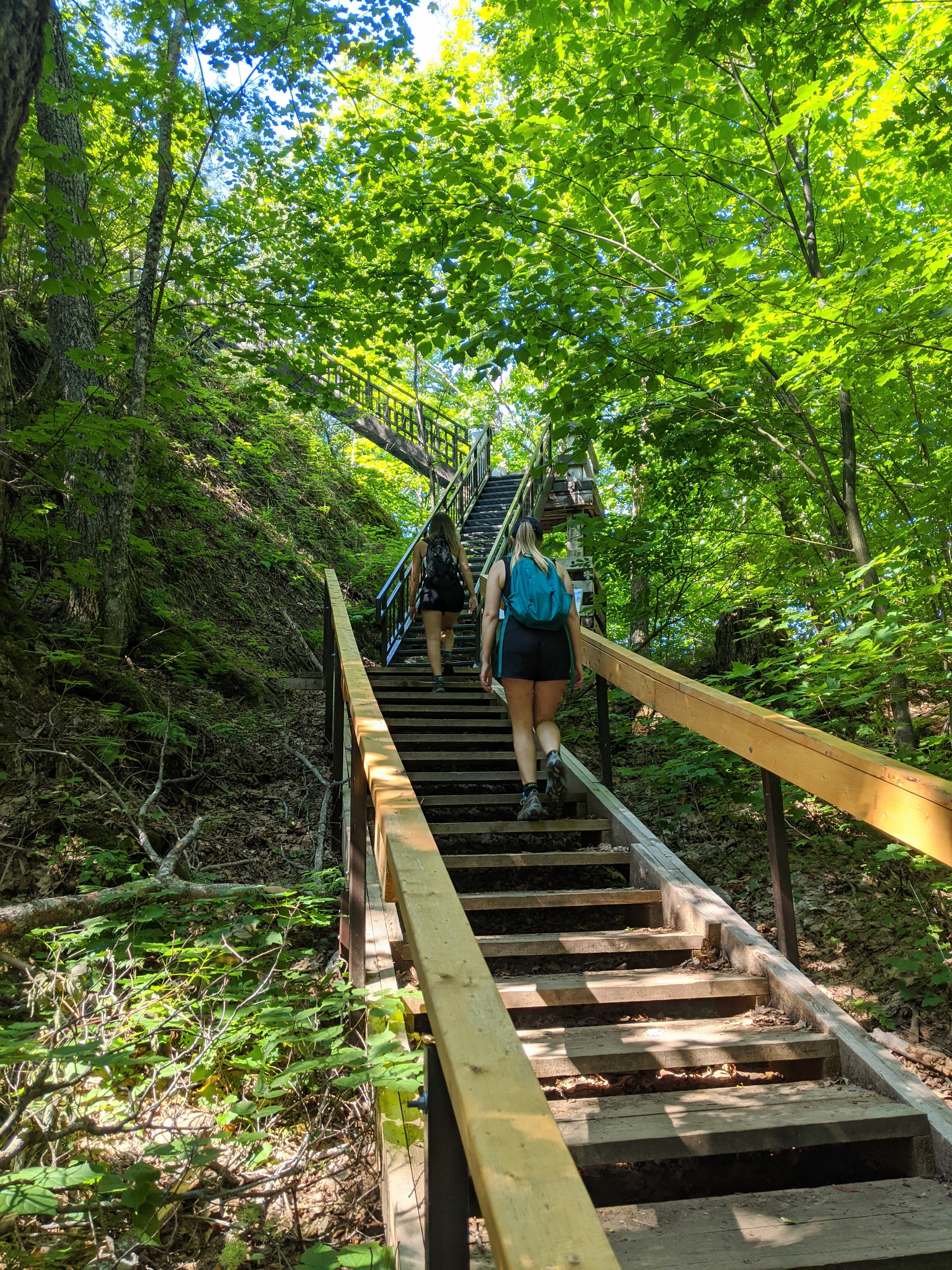
Once you get to the end of the trail there are about 4 flights of steep stairs which take you to the 2 lookout platforms.
We did the trail first in the morning and only came across 1 or 2 other groups of hikers so we had the lookouts all to ourselves!
I would highly recommend this trail as a start for your trip because it gives you a great sense of just how big Lake Superior really is.
Trail Details
Name: Pancake Bay Provincial Park, The Lookout Trail
Distance: 7 km return, 1.5-2 hours to the lookout
Option to continue on the trail, which would be 14 km return (5-7 hours)
Terrain: Relatively flat dirt trail with exposed rock and roots
Level: Easy
Lunch Time Already? 🤤
We may have only just started our trip but we knew how important a good meal was going to be after a great hike! Although
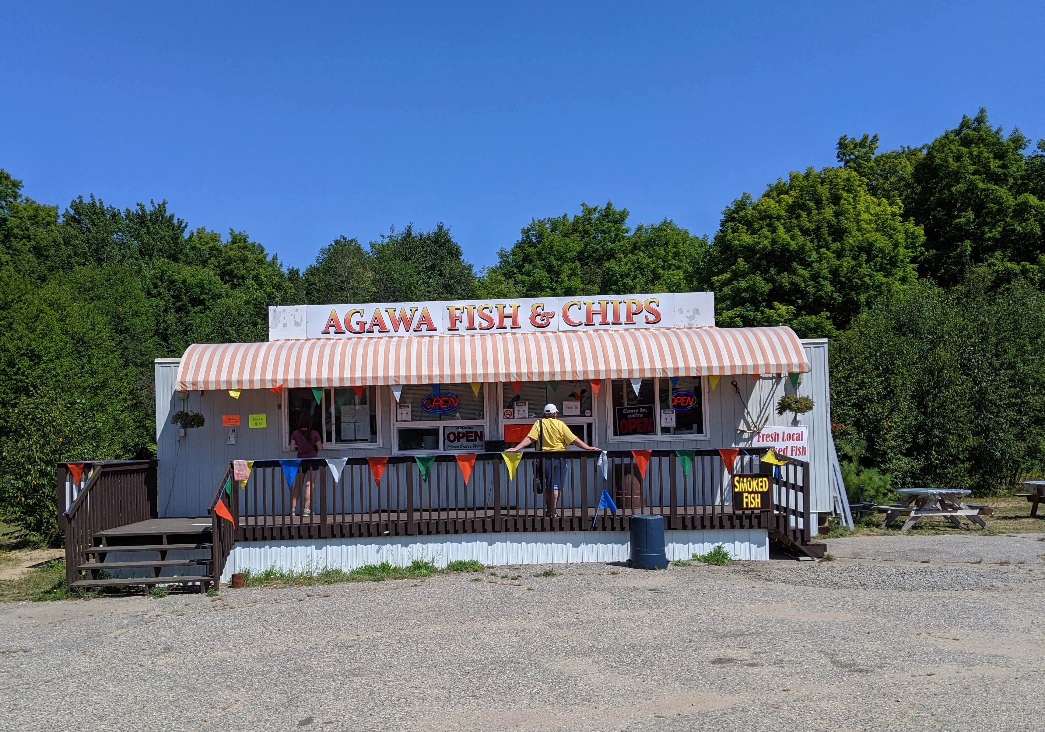
the Agawa Fish & Chips truck doesn't look like anything special
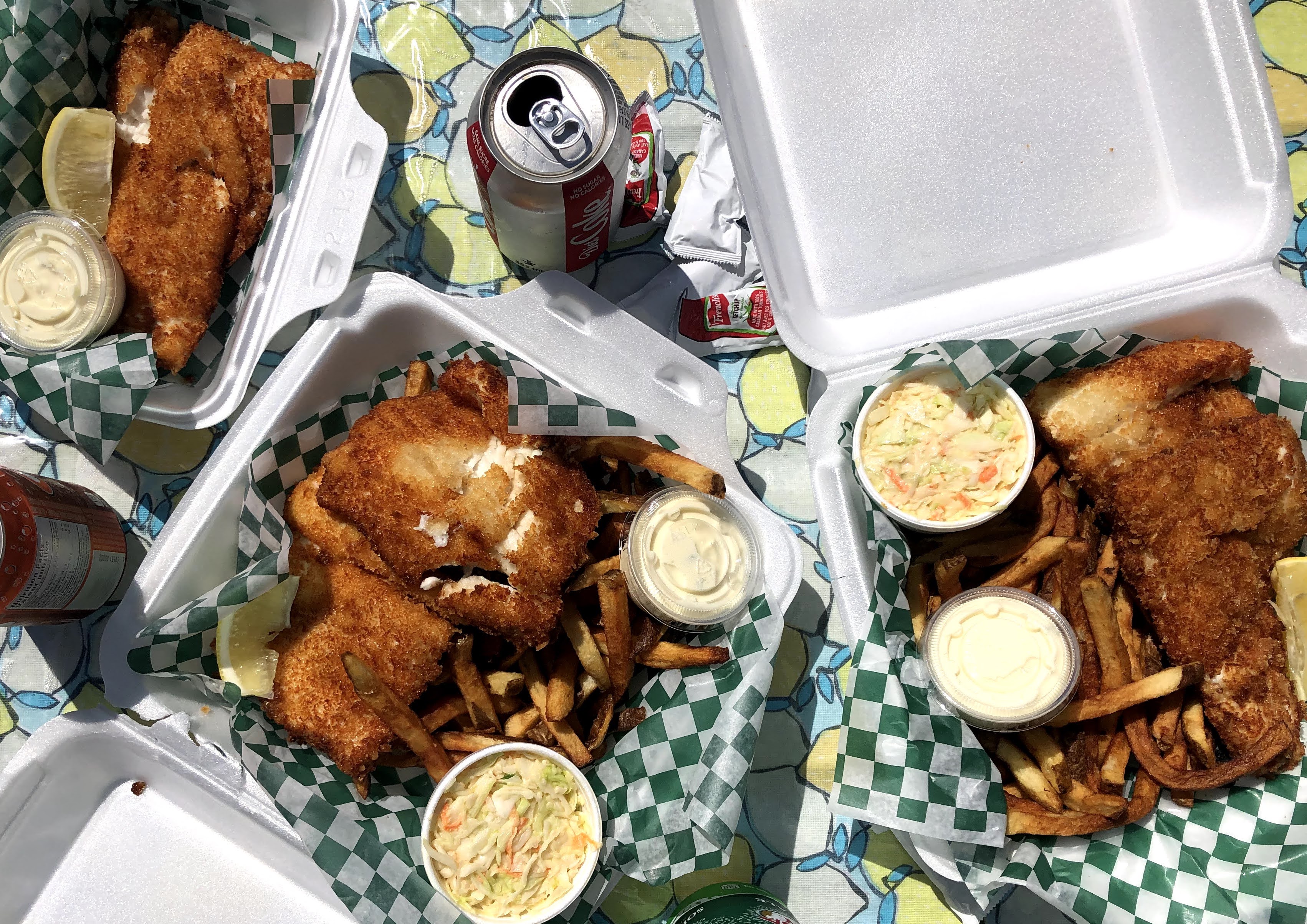
on the outside, these were hands down our favourite fish and chips on the trip. Yes, this wasn't our last fish and chips stop. This
fish and chip truck is run by Agawa Fishery, a local multi-generational family fishery. Their freshly caught Lake Trout and
Whitefish and battered to perfection. Their tartar sauce is also amazing, and this is coming from someone who generally goes with ketchup.
The Agawa Fish & Chip truck is operated seasonally, and doesn’t have a physical address noted online - it seems like this is a popular
local place, so everyone knows where it is without an address! If you’re heading north from Sault Ste. Marie and looking to indulge in
mouthwatering fish, be sure to keep your eyes peeled for this chip truck on the right-hand side of the Trans-Canada Highway, across from
Kaihla Road - if you’ve crossed Batchawana River (coming from the south) you’ve gone too far!
Agawa Rock Pictographs
Now that we had avoided becoming hangry it was time to explore one of Canada's
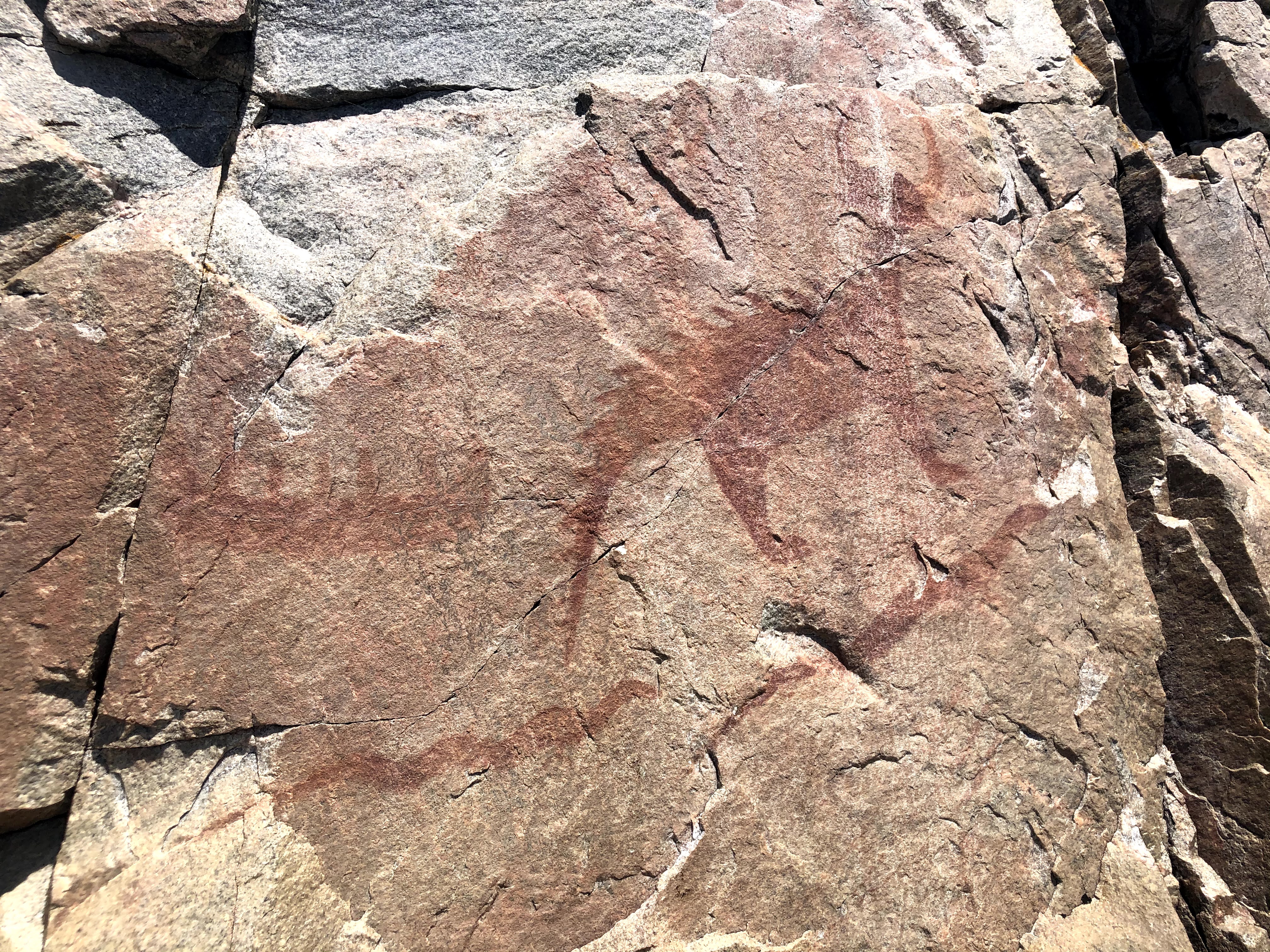
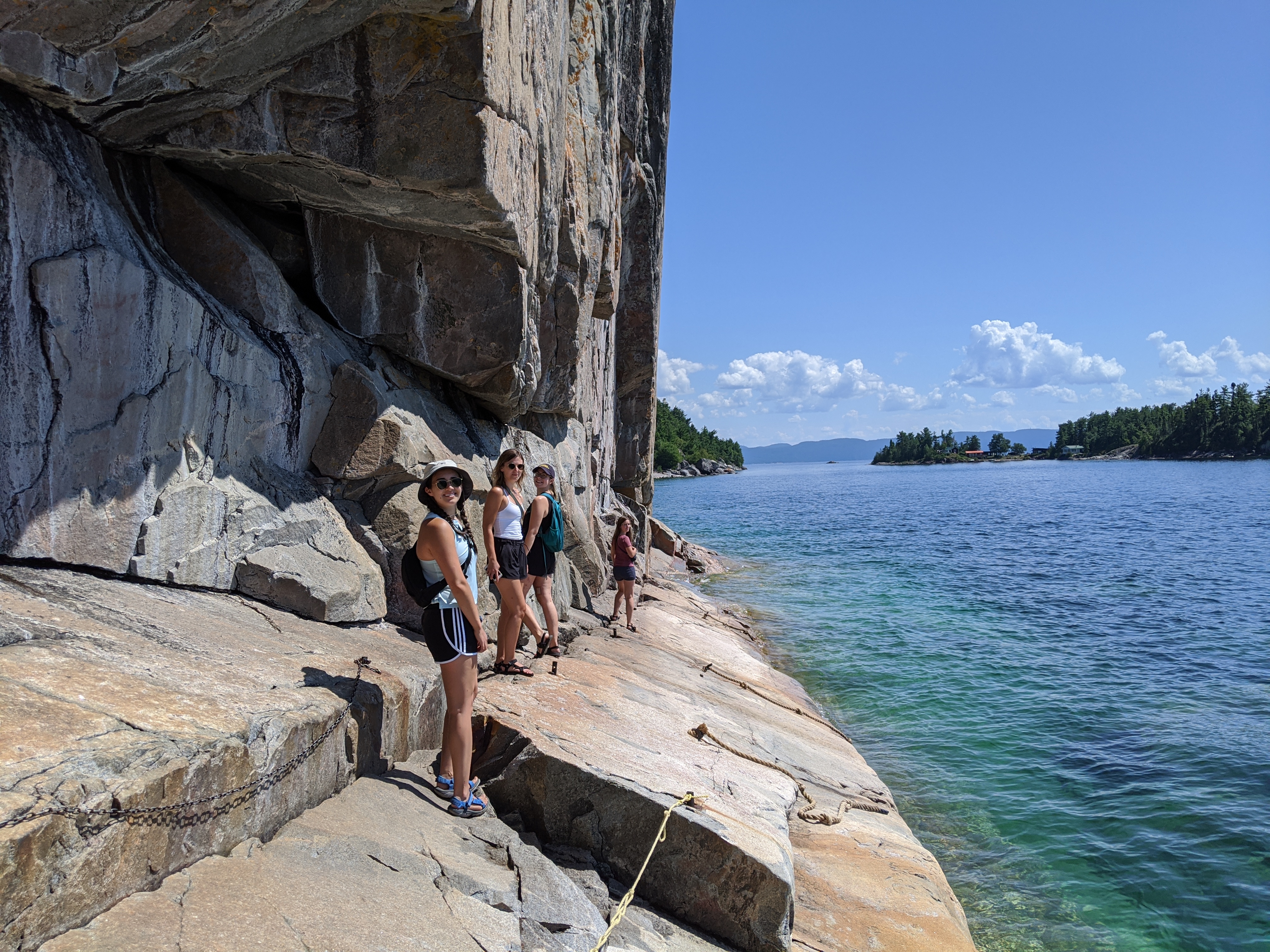
most visited Indigenous archaeological sites. The Ojibwe people's paintings can be viewed by boat or by hike, but we decided on hiking as the large parking lot is right at the trailhead. The pictographs are painted with red ochre, made from powdered haematite rock, which was mixed
with fish oil or animal fat. This particular “stone canvas” was likely used by Objiway people for 2,000 years before European fur traders and explorers travelled on Lake Superior. The short hike takes you to a large rock face
along the lake which holds paintings that are still visible today, and are believed to be from the 17th or 18th century. There are chains hooked into the rock which allow visitors to climb the rock face without falling into the lake.
This is only a 1 way path though so we had to wait at the stairs for 10 minutes while other visitors viewed the paintings. There were numerous warning signs that large waves can pull people into the water, so it is highly recommended
to only descend the rock face on a calm day.
Trail Details
Name: Agawa Rock Trail
Distance: 800m return, descending 30m
Terrain: Majority of trail is rugged with exposed rocks
Level: Moderate
Backcountry Camping - Gargantua Bay
After a jam packed first day, by around 3:30pm we were ready to find our campsite. Lake Superior Provincial Park has 2 car camping campgrounds, Rabbit Blanket Lake & Agawa Bay, but we decided to take a stab at backcountry camping
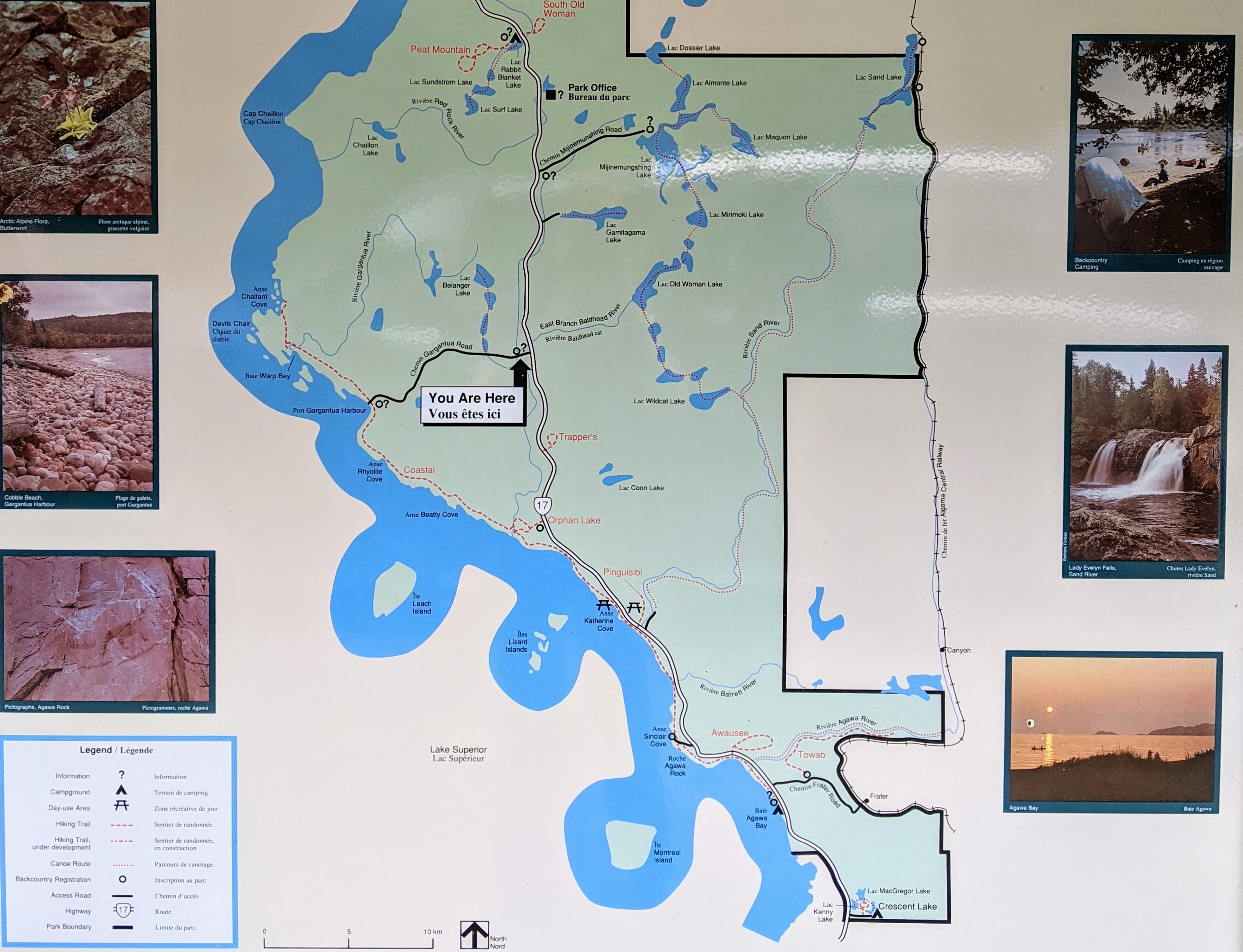
along Gargantua Bay. Access to Gargantua Bay is via an approximately 14km long narrow, winding, bumpy gravel road. Don’t let the short distance fool you!
The 14kms takes about 25-35 minutes minimum. We encountered other cars along the way, and while the road is very narrow, we generally had no issue passing except for on the 1-lane bridges. The road is very well maintained considering
it's a gravel/small rock road. We were shocked that there were barely any pot holes! At the end of the road there is one parking area, ~7 cars big, which marks the start of the path towards the north campsites; however, if
you drive 50m further there is a second larger parking area that can fit ~10 cars marking the start of the path towards the south campsites. The parking lot was shockingly full the entire time we were there, but we managed to squeeze
our Ford Expedition into a small spot.
In order to camp at Gargantua Bay you will need a backcountry permit from Lake Superior Provincial Park. You can get this permit from the Agawa Bay Visitor Centre, Rabbit Blanket campground gatehouse, or complete your backcountry
registration online up to 2 weeks in advance of your stay. The access point we used was the “Gargantua Harbour access point”, and our permit was for “Coast, South”.
Note that the “Coast, South” camping area includes many more sites than the 6 found right at Gargantua Bay; therefore, you are not guaranteed an official camping spot.
⭐ Tip: Arrive early if you want to score one of the 6 backcountry sites located within a 20 minute walk from the parking lot. When we left at 10:15am the next morning we came across 3 vehicles so I suggest arriving in the am and
waiting for campers to leave.
The Lowdown on these Backcountry Sites
Since we arrived late, at 4pm, all 6 of the sites were already taken. We decided to relax on the beach, soaking up the sun and swimming in the crystal clear water, while hopefully waiting to see if a group would pack-up from one of the campsites
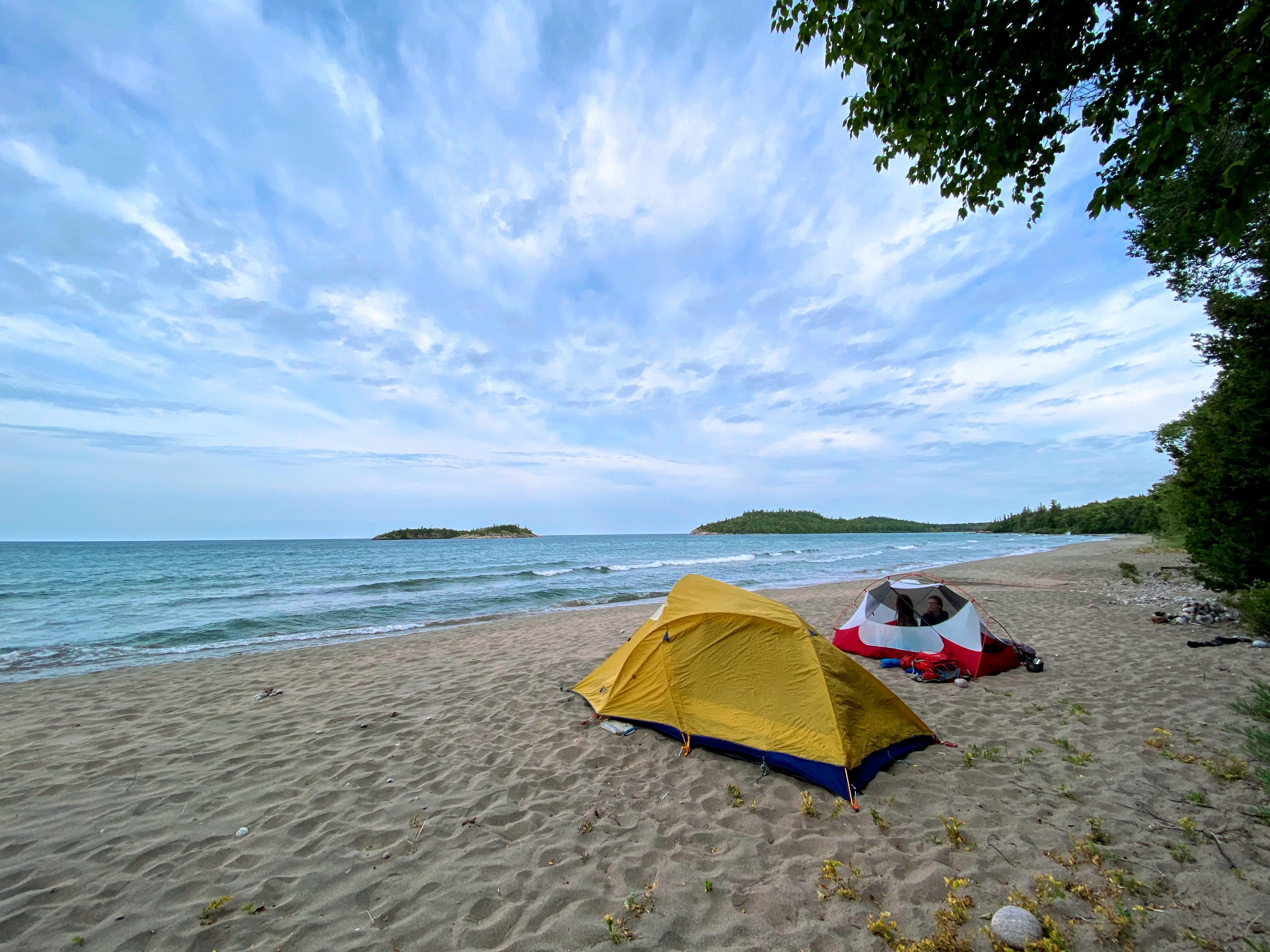
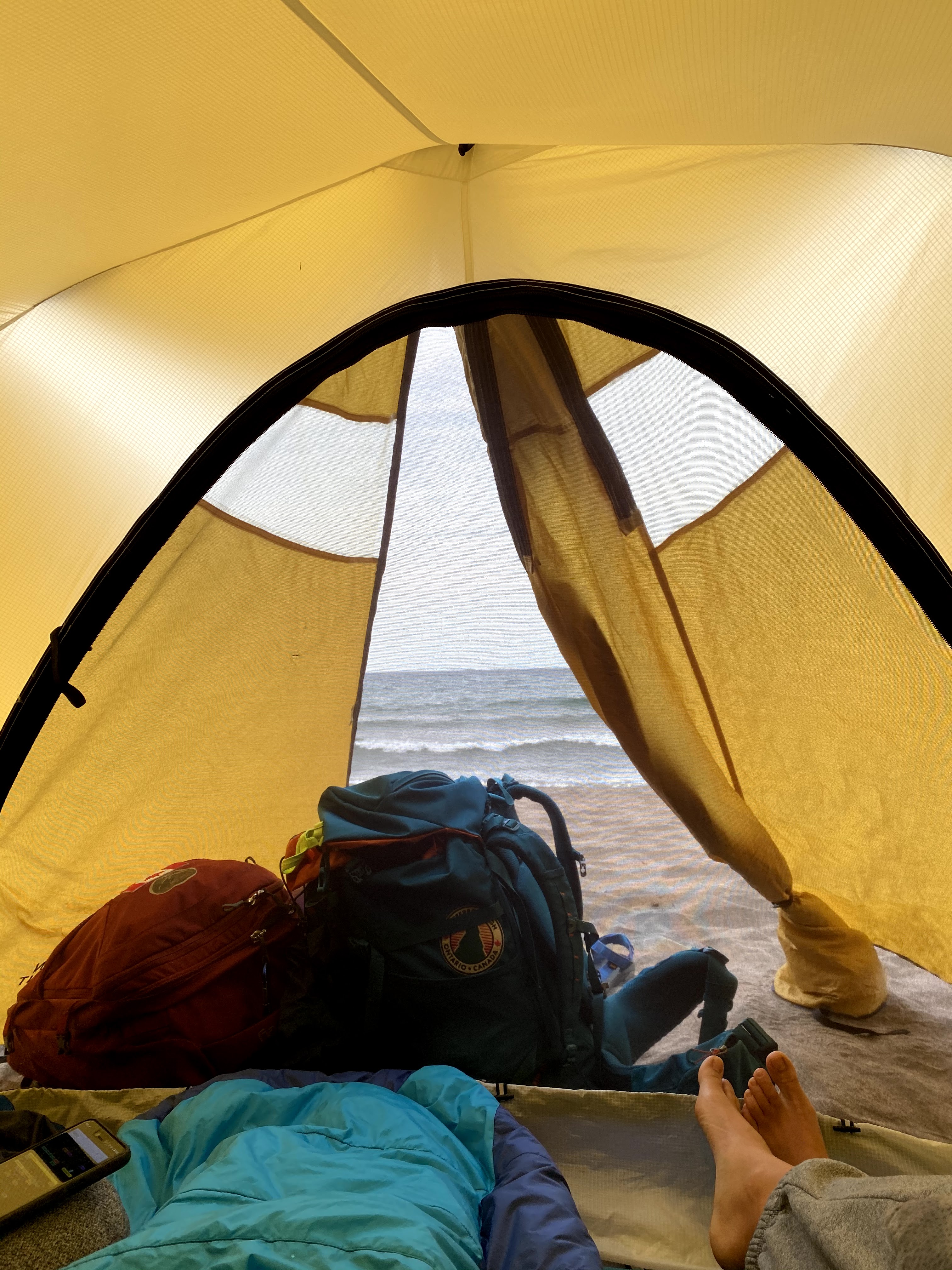
- but this didn’t end up panning out. We set up our tents right on the beach just before dark, making sure to space ourselves away from the 3 official beach campsites to respect other campers' privacy. Although this is not preferred by Parks
Canada, we were not going to be able to hike to a further site before dark so it was a good option for us. Since the car is only an approximately 7 minute walk away we packed up our food before bed and brought it to the car instead of hanging our food from a tree to keep it safe from bears.
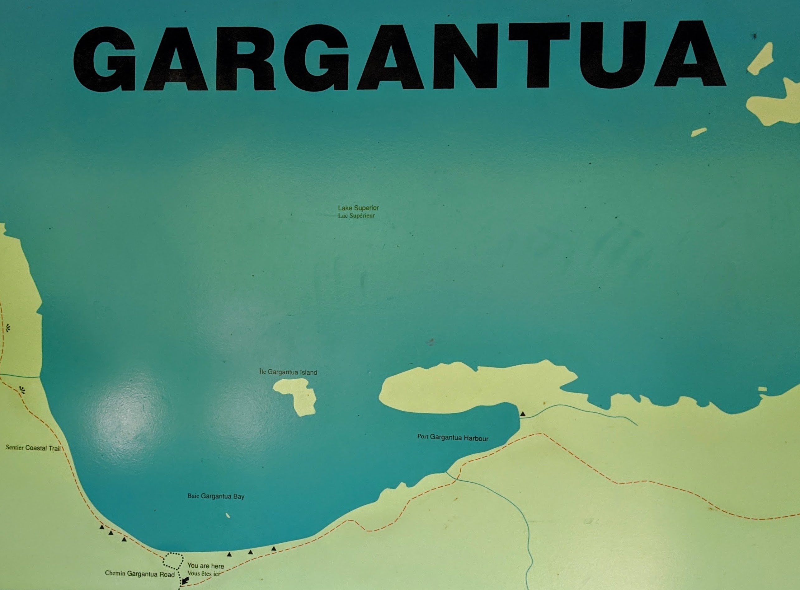
Checkout the map below for a better idea on where the closest campsites are 👇
North campsites (sandy beach)
Campsite #1 - 5 minute hike
Campsite #2 - 4 minutes further
Campsite #3 - 2 minutes further
Campsite #4 - ~7km further (info from another hiker we encountered)
South campsites (rocky beach)
Campsite #1 - 4 minute hike
Campsite #2 - 3 minutes further
Campsite #3 - 5 minutes further
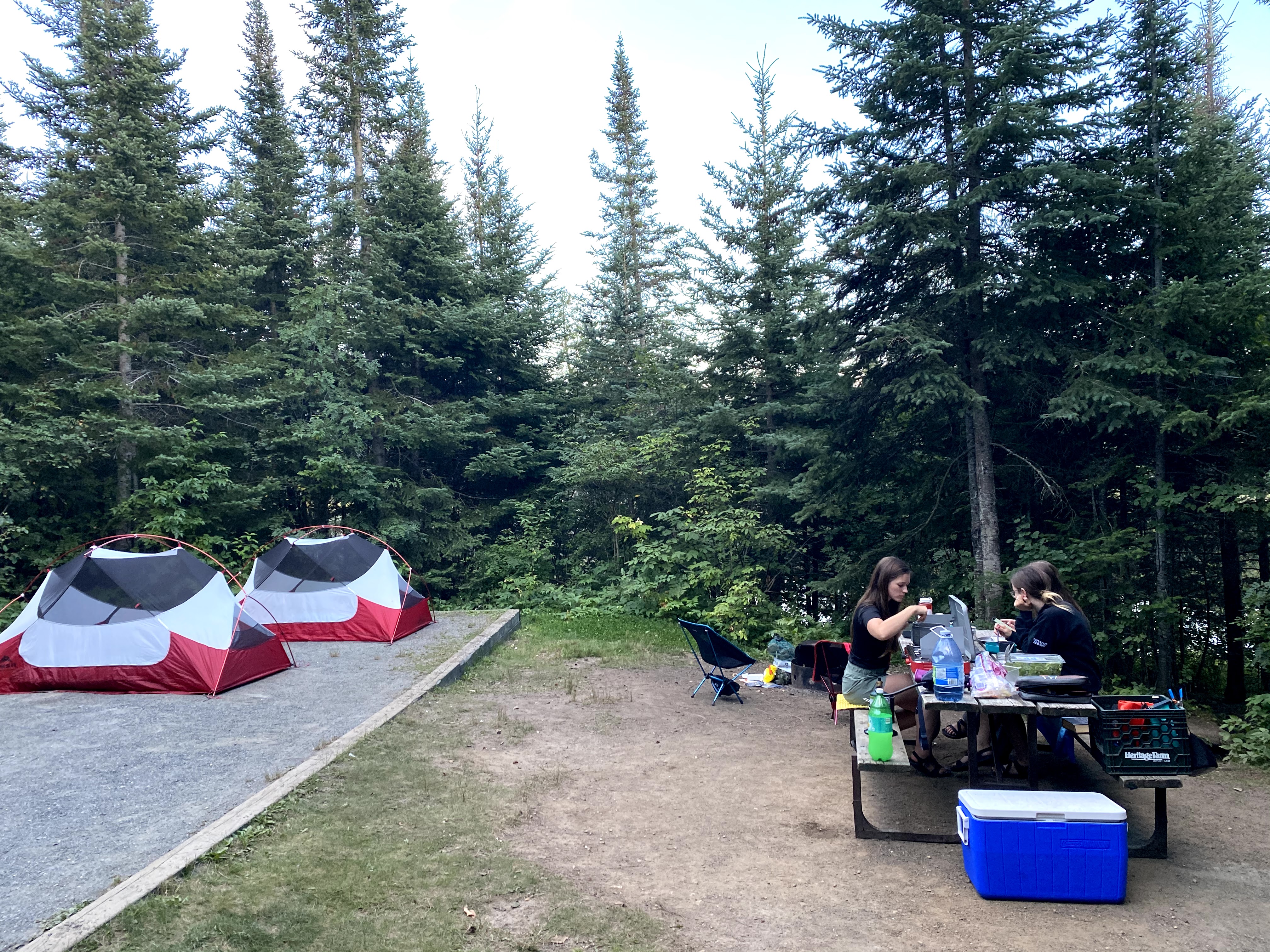
On our way back through Lake Superior Provincial Park (day 8) we stayed at the park’s northern and smaller frontcountry campground, Rabbit Blanket Lake,
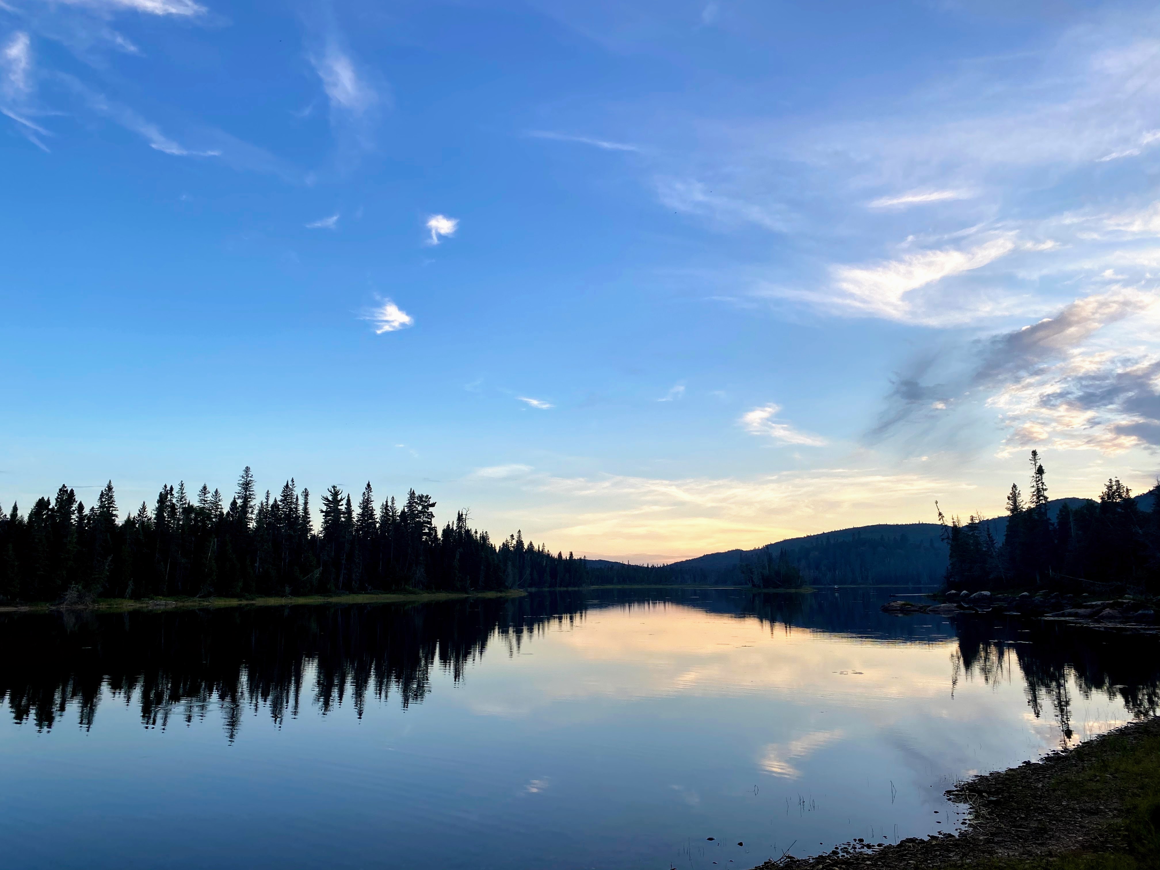
located on South Old Women River. We managed to get a campsite on the river side for our one-night stay, which I'd highly recommend, as we had direct access
to the river and could watch the sunset. When we arrived at the site, a father and son were even fishing along the waterfront! - can’t confirm if they were successful or not though.
The campground is pretty long and skinny so campsites are rather close together - at least by Northern Ontario standards! Sites on the lake side seemed to have a pretty good buffer of
trees between you and your adjacent neighbours so i’d recommend those if possible. Either way, we found Rabbit Blanket Lake was one of the quietest frontcountry campgrounds we’ve ever stayed at!
It was soooo quiet! The only sounds we heard were the occasional whooshing of a transport truck travelling along the Trans-Canada, since we were only ~10 campsites from the highway. Overall,
Rabbit Blanket was lovely and would highly recommend it if you’re looking for a short, comfortable, stay.
A 23 minute drive down the road from Rabbit Blanket Lake Campground is Katherine Cove, a great place for swimming on Lake Superior.
An added bonus, if you stayed within Lake Superior Provincial Park like us, your parking is already paid for. This is a very popular spot and so if you want parking, try and arrive before 11am. Eventually the parking lot
spills onto the side of the road but it's definitely a pretty dangerous place to park.
50m from the Katherine Cove parking lot, is the beach. Unfortunately the highway is pretty visible from it though, so most people go to the beach just south of the cove which is bigger and further from the Highway and the noise.
To get to this beach you must walk to the end of the Katherine Cove beach and find the start of the 950m trail. It is clearly marked once you get close so you won’t miss it. It definitely isn't the easiest trail. We encountered at
least 4 sections where we had to climb rocks and tree roots at waist height. That being said, there were some pretty young children persevering with the help of their parents, so it's not impossible. If you don't want to do the trail,
we did see cars illegally parked on the side of the Highway further south from Katherine Cove. By mid day there will be a long line of them, so you can take the risk and follow suit.
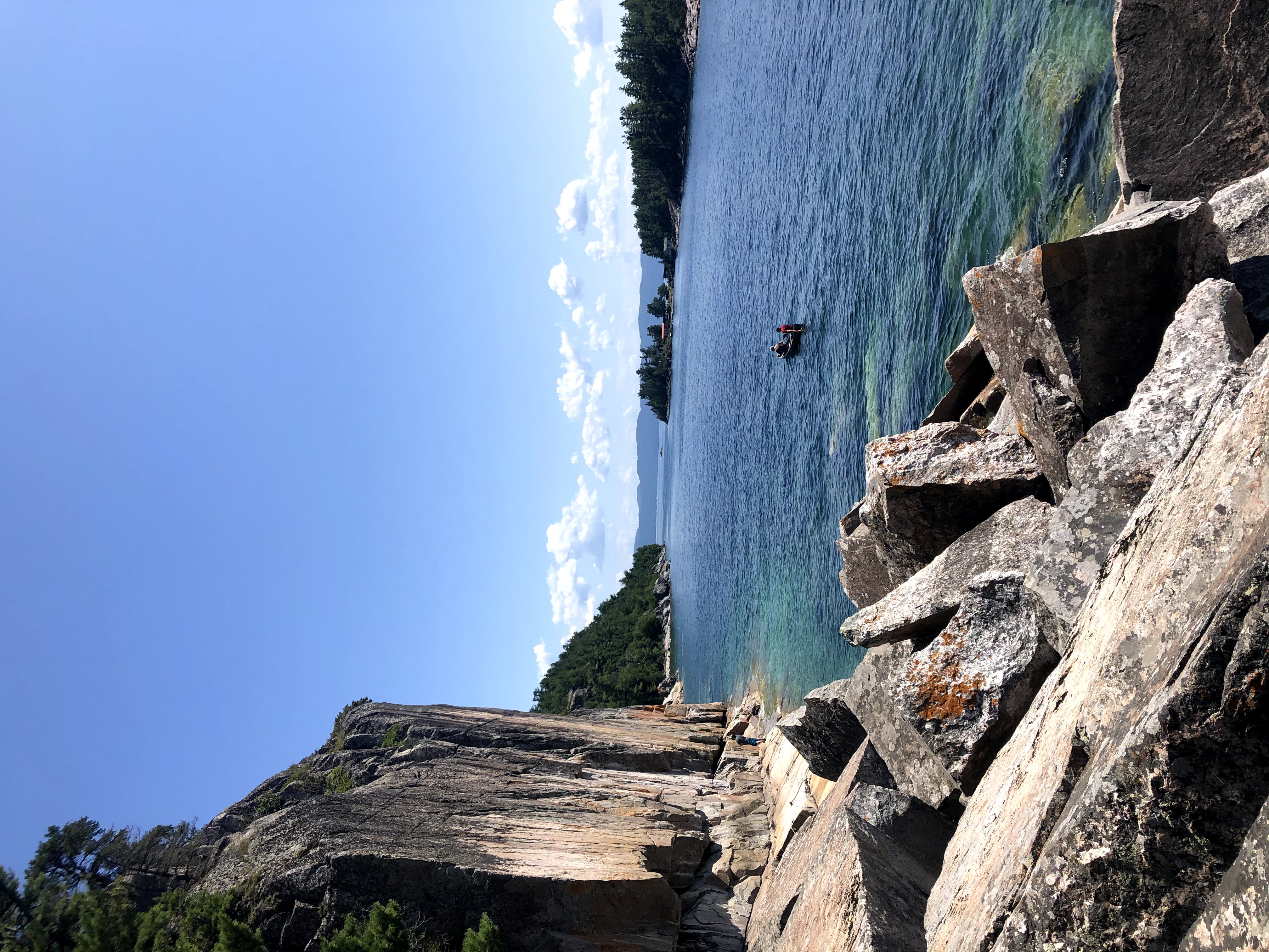
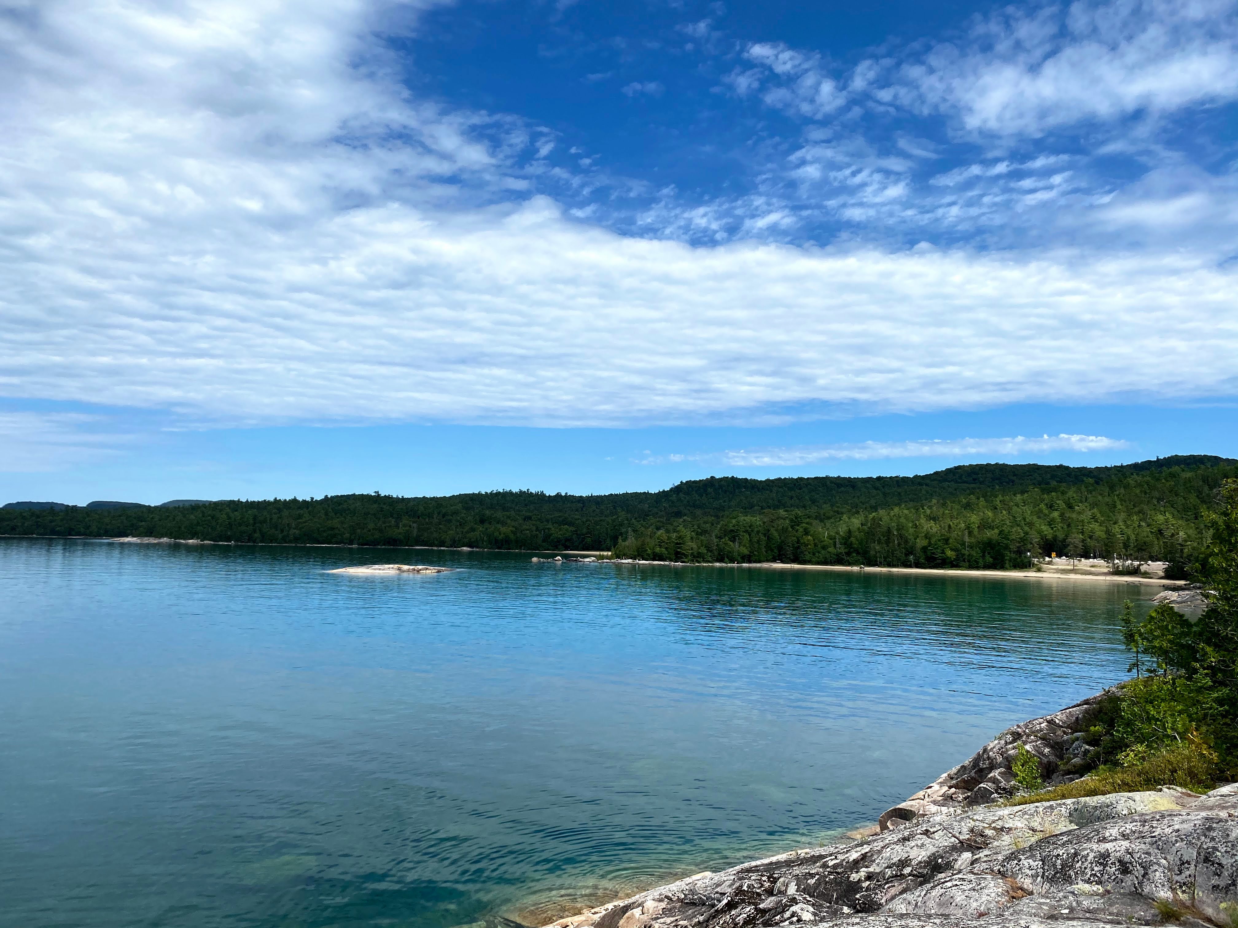
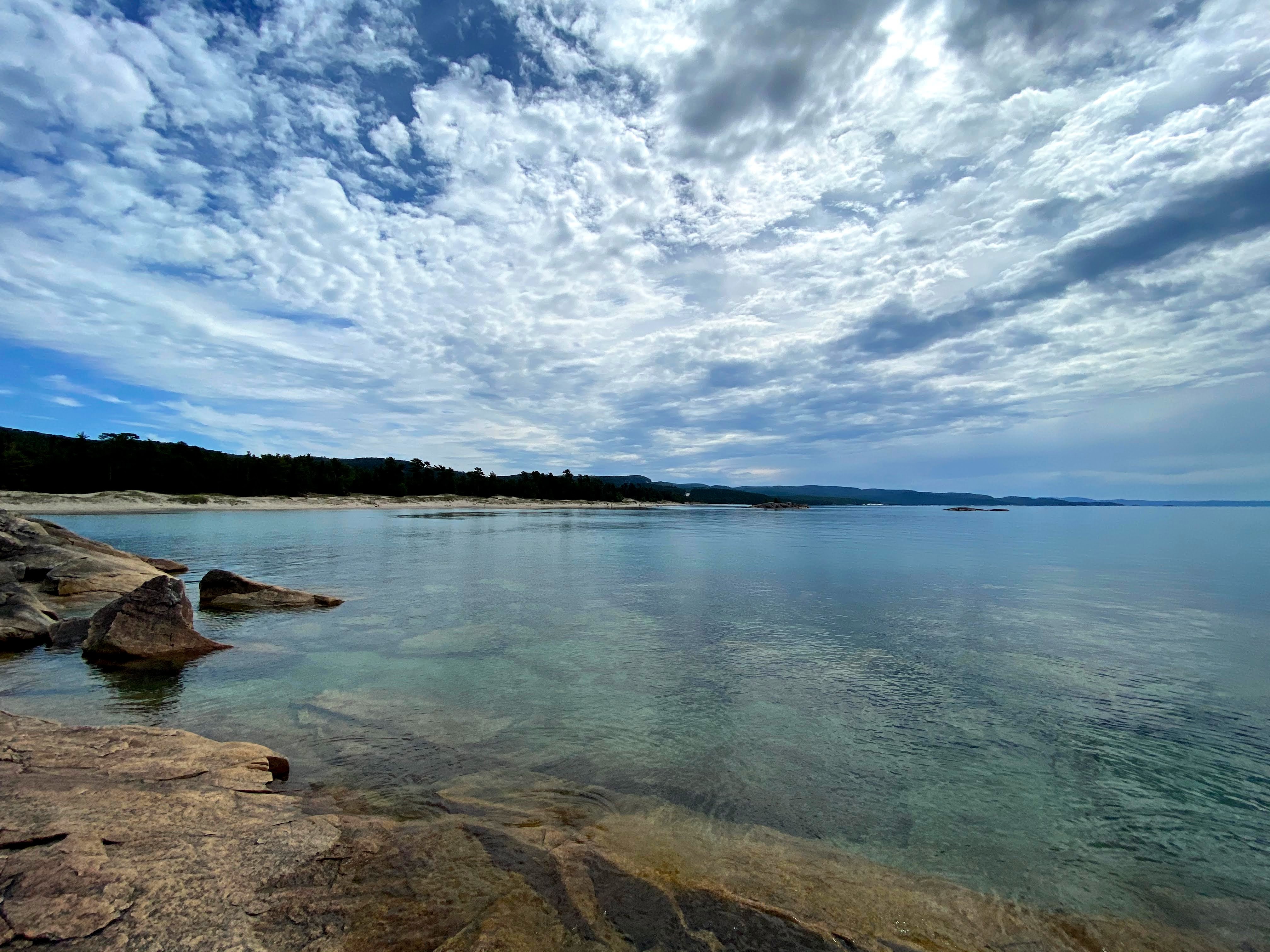
⭐ Tip: We wanted a more private spot to have lunch so decided to lay our towels on the rocks just North of the larger beach. This is a really great spot swimming and sun tanning as there are many large flat rocks leading out into the water!
Just hop off the trail a little early, ~50m or so, to find this spot! Check out our photos below 👇
